Friday, I visited the Philbrook Art Museum in Tulsa. My MIL buys us a membership every year and I love that she does that. I don’t need any more stuff, a museum membership is a gift that keeps on giving. This trip I spent it all outside. I walked two miles in the gardens. Pretty good workout. And of course I took lots of photographs in my wanderings.
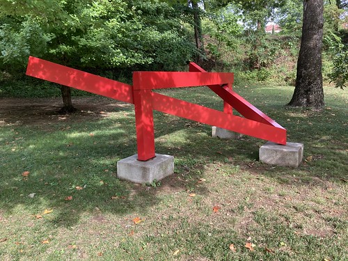
I came upon this sculpture. I like the shadow pattern on it.

I love these blue chairs. They are at the top of the hill and have a grand view of the grounds.
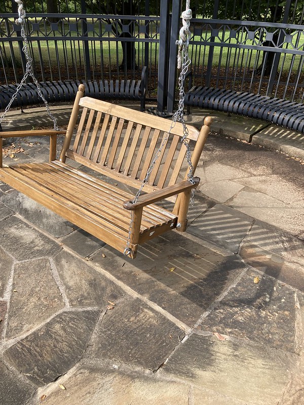
They even have swings now.

I actually swang a little (or maybe I swinged). Do you like the tan I got on my legs from ten days sitting on the beach recently? It had been raining just before I got there and I didn’t notice that the seat was yet so my rear end was soaked after this. Oh well, things dry right?
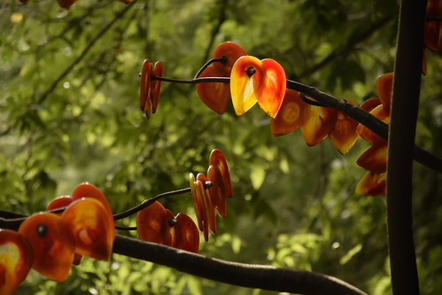
One of my favorite sculptures in the gardens is “Oklahoma Autumn” by Eric Baker. It was too early to catch leaves turning at Philbrook but I will be back.
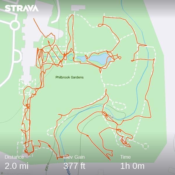
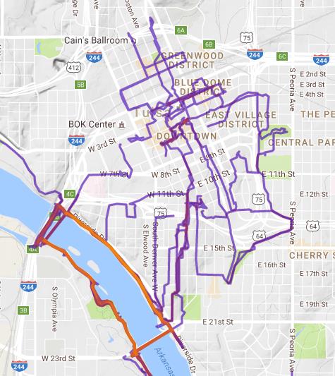
I had the GPS on my watch turned on during my walking and here is my map. One hour to do two miles? Yep I was in major wibble wobbling mode. Do you know that they used to have a geocache on the grounds. Yes they did and I found it eleven years ago. Read about it.
I am linking with ShadowShot Sunday II – go check it out!!