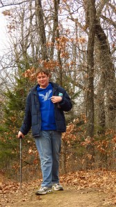
Me and a friend of mine have been going hiking together Friday mornings for a few months. Mainly on Turkey Mountain but we have branched out to the Mooser Creek Greenway and Oxley Nature Center. Early this month we decided to tackle the Falls Creek Trail at the Keystone Ancient Forest about 20 miles or so northwest of Tulsa. I have hiked some of the trails there and late last year participated in a trail cleanup day there but have never hiked the Falls Trail which is supposed to be very difficult.

So we got to the visitor center and was perusing the map when one the volunteers came out and we talked about the trail. He said parts of it were really difficult and rough but doable. On the map above the Visitor Center is at the upper right hand corner where the yellow and red trail come together. The Falls Trail is the orange trail that loops off of the red trail. The Falls Trail map is kind of scraggly. My experience is that trails that look scraggly on a map are pretty rough on foot.

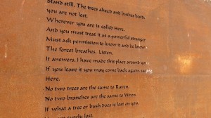
So we walked down to the trailhead for the Falls Trail and ran into this warning sign. The guy at the visitor center said that they have quite a few rescue calls from the Falls Trail but that is mainly in the summer. He said people head in without water and not properly prepared and run into trouble.

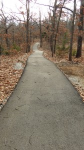
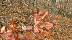
The first mile or so was just winding through the woods but soon enough we encountered rocks and erosion and unstable footing. Onward we went, slowly. My hiking buddy moved way ahead of me as I was tip toeing through the rocks.


Here is a little overhang we encountered. I took a photo of this, and then I guess that I forgot about because I hit my head on it as I was going slowly watching my feet. It knocked me back and I lost my balance and fell on my back. No harm though, I wasn’t going fast so I didn’t even have a headache. I had a big bruise on my back. So I picked myself up and kept on going.

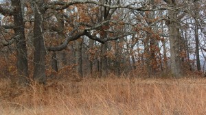
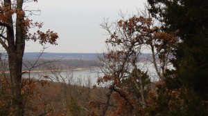
We went along a couple of ravines with some cool rock formations across the way.

My phone camera doesn’t give a good sense of the depth. There was probably about a 30 foot or so sheer drop off from the trail.

There was some water pooled up at the bottom of the ravine. I think the Falls are sporadic depending on recent rainfall.

This is the main falls. As you can see it is pretty dry. There is a pretty good dropoff on the other direction.

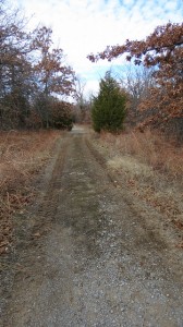
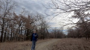
Past the Falls the trail was a lot easier. We took the clockwise direction on the trail. Turns out a friend of mine used to lead hikes at Keystone. He told me that most people take the clounterclockwise route to access the falls and then return the same way rather than complete the loop encountering the rough and rocky trails on the clockwise direction.

So we had a lot of fun and enjoyed a scenic and challenging trail. So we’ll have to figure out where to go next.
The Keystone Ancient Forest is owned by the Nature Conservancy and administered by the Sand Springs, Oklahoma Parks and Recreation Department. Check their web site before you go because access, although free, is only open for certain hours per day. It’s a popular place on nice weekend days and their parking lot can fill up so plan accordingly. They have other easier trails to hike if you want to do something not quite as challenging as the Falls Trail. They even have an ADA compliant trail designed for wheelchair access and they have a couple of all-terrain track chairs to ensure access for everyone regardless of mobility issues.
I am linking with Skywatch Friday.