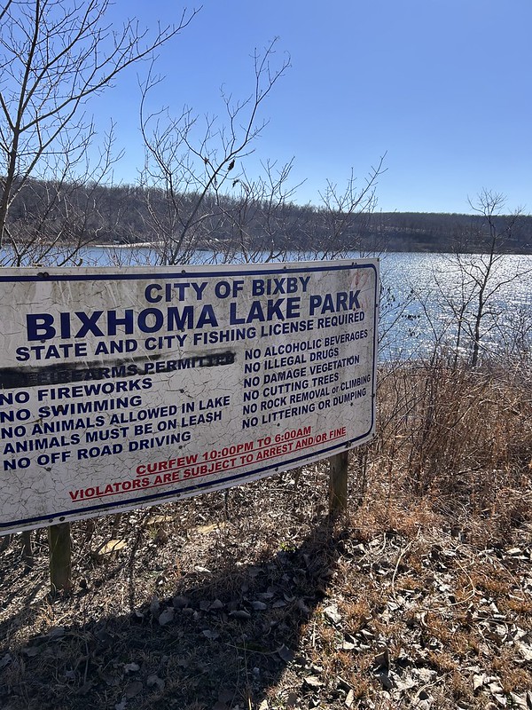
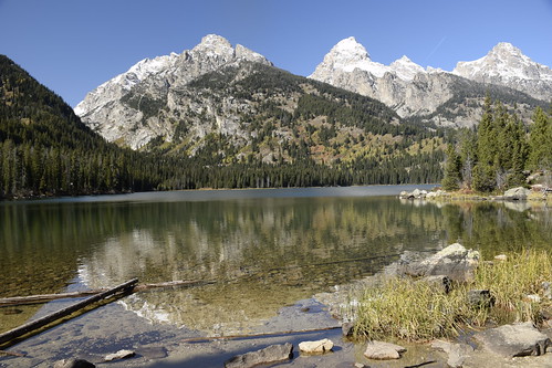
Lake Bixhoma is a water supply lake for the Tulsa suburb of Bixby. It is known for its clean water and protection from wind since it is surrounded on three sides by hills. It has a few hiking trails that are known for being kind of tough plus they have all sorts of venomous snakes there. I’ve been lucky and never seen one except for a water snake last year. The place also has a geocache that has not been found in four years. So I wanted to do two things. Find the cache and hike completely around the lake which I have never done before. I also wanted to lessen the chances of serpent encounter by doing the hike while the snakes were still in brumation (the snake form of hibernation.)
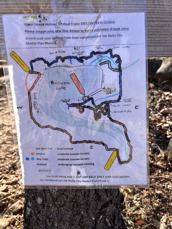
So I started off at the beginning. I couldn’t make heads nor tails of this map at the time. All I wanted to do was avoid the “snake farm” indicated on the upper part of the map. Off I went. You don’t really need a map. Just keep the lake in sight and you’ll be okay. That turned out not to be totally true.
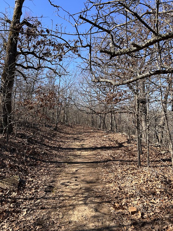
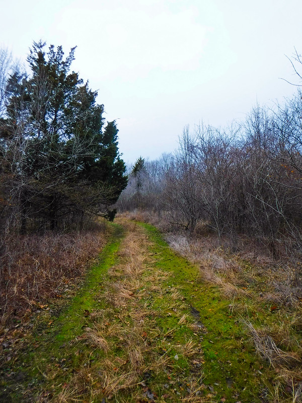
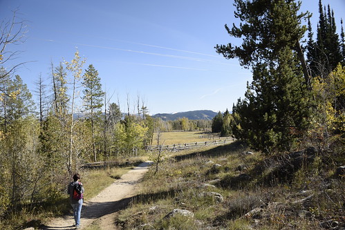
The trail is a mix of old road, nice single track and some pretty technical rocky sections.
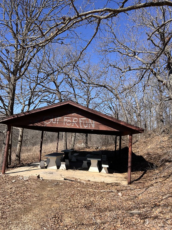
They used to have a road that went deeper into the park and had picnic pavilions, restrooms and such. These are now abandoned.
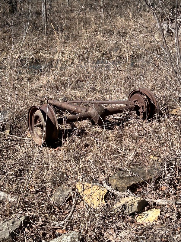
There is evidence of old farms and houses here. I’m told that this is a model T axle. How it got there, I don’t know.
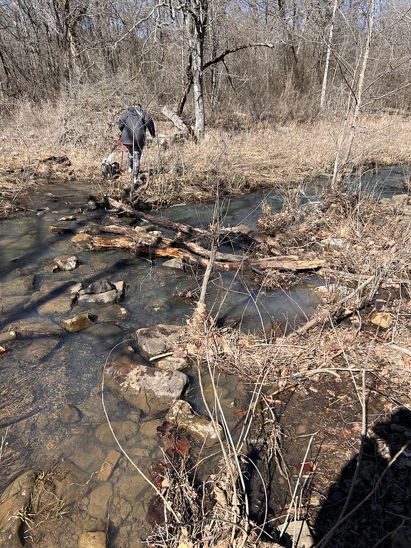
There is a little creek flowing into the lake.
Last year I came looking for the cache and turned back at this creek crossing. I had my good camera with me and no walking stick. So I didn’t want to take a tumble into the water. This year I came upon a young woman who had two dogs on leash who was considering the crossing and went ahead and did it even though the dogs were pulling here pretty hard. I said, okay if she can do it I can so I got across with dry feet.
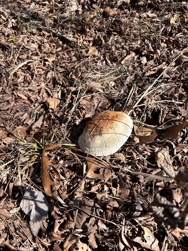
Soon after crossing I started deadheading to the cache. No trail so I was going around thorns and such. Found me this old turtle shell.
And a skull of some unlucky critter.
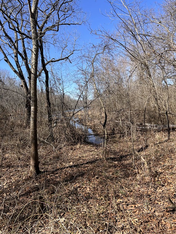
I got to ground zero which was almost on the lake. It looks like one could take a kayak almost all the way there. In fact almost all the previous finders used a kayak but had to beach it in marshy areas and get all muddy coming in.
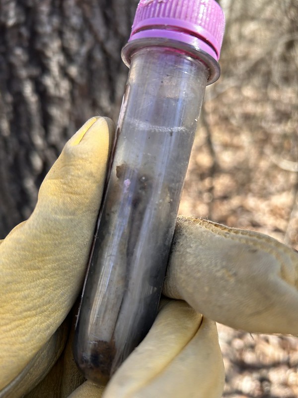
I looked for the cache for an hour. I was envisioning something big like an ammo box. I was convinced that the cache had gone missing. “Muggled” they say in the geocaching world. I looked for it for an hour or so and couldn’t find it. I had marked ground zero with my blue water bottle and when I gave up looking for the cache well then I couldn’t find my bottle. So I had to hunt for the water bottle and when I found it, I saw the cache. Which is why I marked the zero point with my bottle. I could have saved an hour, oh well.
The thing is that the cache container’s top had been chewed by some critter and the container was level full of water. So I obviously could not sign the log. I’m still claiming it! I logged the find online and cache owner got back with me and said that they would replace the container.
So then I hiked out. Since I wanted to circumnavigate the lake I had to take the long way out. It was a mile and a half to the cache site and I hike almost two and a half miles to get back out. A good time was had by all is my motto.
I am linking with Skywatch Friday and My Corner of the World.

