
Continuing our saga of our New Mexico vacation. We got to Red River in the beautiful Sangre de Cristo Mountains and didn’t waste any time hiking the day after we got there. I hadn’t been in the area in 50 years and back then I wasn’t a hiker. So we consulted the redriver.org website and the alltrails app and kind of converged on the nearby Columbine Creek Trail as a good moderate trail. Plus it was only about five miles from town so off we went.

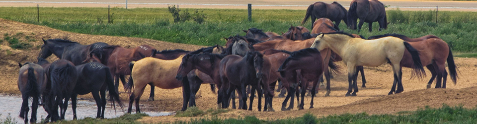
We didn’t see much in the way of critters but there were wildflowers. I had my Merlin App going and it captured the Northern Flicker in a particular section of the trail and not much anywhere else. I caught glimpses of it but not enough to feel comfortable adding it to my “life list.” Those dang birds need to sit still for at least 30 seconds for me to get my camera out, adjust the settings, focus and all that to get a good photo. Those little birds are so rude they way they hop skip and jump all over the place. Just call me Karen and point me to the manager.

Gotta tell you walking through an aspen forest got my feels going. Did that all the time when I was just a kid. Haven’t hardly done it since. I love it. Brings back lots of memories.

And a cold, clear mountain stream. We have lots of water in eastern Oklahoma (and I love it here) but very few clear running streams.

Just one more time on the aspens. Promise!!

The trail crossed Columbine Creek several times. The Forest Service put in these deluxe bridges. I cannot imagine the amount of work to put the bridges in and then keep them maintained.

And I loved the rock cliffs.

I googled the heck of “Quetta” so I don’t know who this person is but they obviously loved the trails.

Here’s two of my hiking team.

We didn’t make it to the promised waterfall at the end of the trail. We were getting low on water and we are flatlanders playing around at over 10,000 feet so we turned around. There will be plenty of waterfalls in our future. So headed back to the trailhead and got there safe and sound. So we got four miles in for the day.
And now a blast from the past.
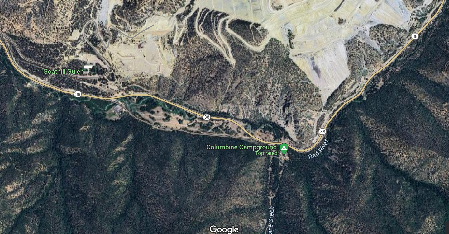
Our hike reminded me that when I was in high school our family hiked somewhere along the highway in one of the Forest Service campgrounds. I remember dad pointing up to a mountain and saying that there was lots of molybdenum in the rock and that it had been mined there for decades. The mineral is used to harden steel in everything from bulldozer blades to mountain bikes and is very valuable. So I looked it up and molybdenum had indeed been mined there for a long time and the biggest mine, owned by Chevron Mining, was an open pit mine right across the road from the campground where our trailhead was. I got on google maps and the mine looks a lot worse than it looks from the road. It is a huge open pit mine.
Chevron shut the mine down in 2014 and settled with the State and the Feds for over $140 million in cleanup costs from the damage of runoff from the mine into the Red River. Chevron is still cleaning it up and is still helping the downstream village of Questa deal with transitioning their economy from mining to something else. Mining is necessary for our modern life but cleaning it up is an expensive, lengthy process. I think they are pretty close to completing the project.
Hey I apologize for digressing but I found the mine fascinating and was amazed at how much damage it caused to the surrounding area.
Still more to come later on our vacation.
I am linking with Skywatch Friday.


