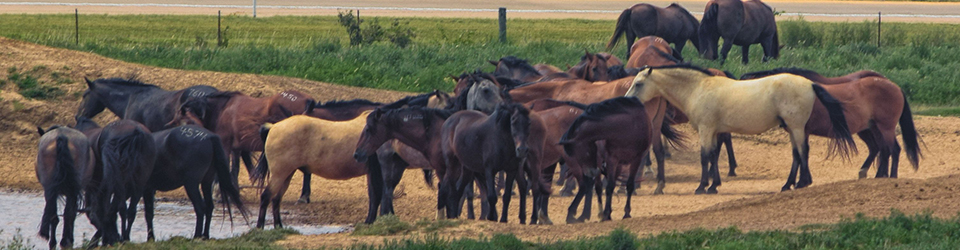
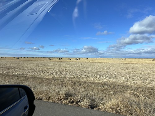
On our recent trip to Colorado to see family after Christmas we took a southern route through the Oklahoma panhandle and New Mexico to avoid some snowy weather. Tell you what the panhandle has some big skies and great vistas. Heather took over the driving for a while so I took some pics with my phone.
Sorry for the internal reflections!!
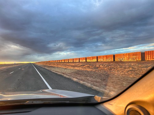
We drove by this train in the late afternoon. I loved the late afternoon light on the boxcars. The line was at least a mile long.
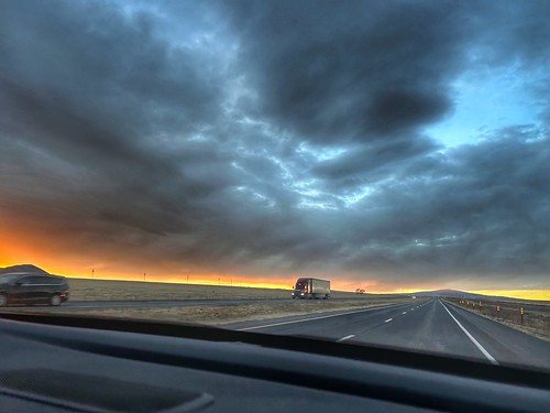
And a little bit later we got a good sunset.
And a great reverse sunset looking east via the mirror.
I just love it when Heather drives. I get to take photos and I also regale here with fascinating (to me) information via Wikipedia on all the small towns we go through. I don’t know why but she always turns up the volume on the radio when I am trying to give her a good tidbit of information. She keeps saying stuff like “I don’t care.” Oh well. Not much she can do about it since she is driving, right?
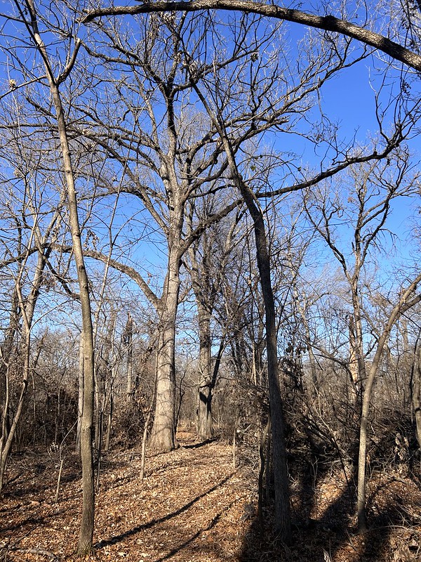
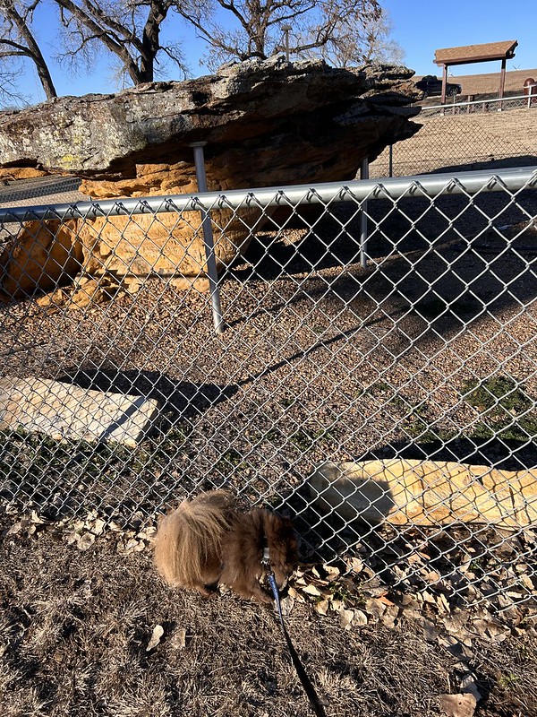
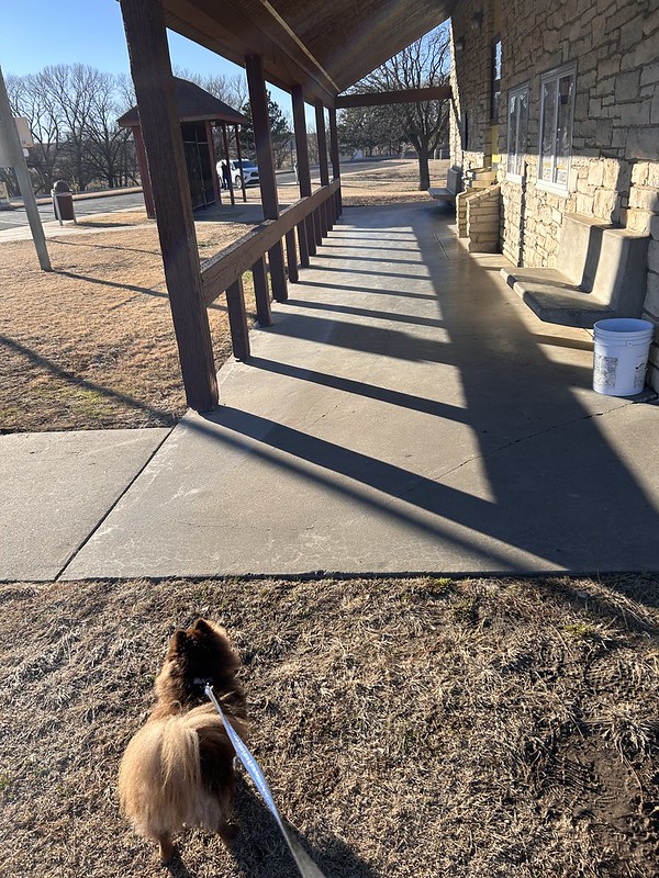
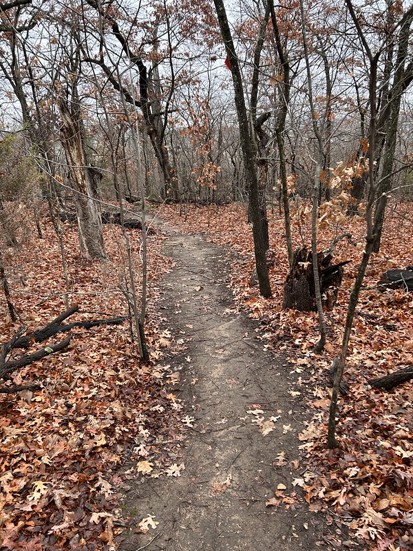
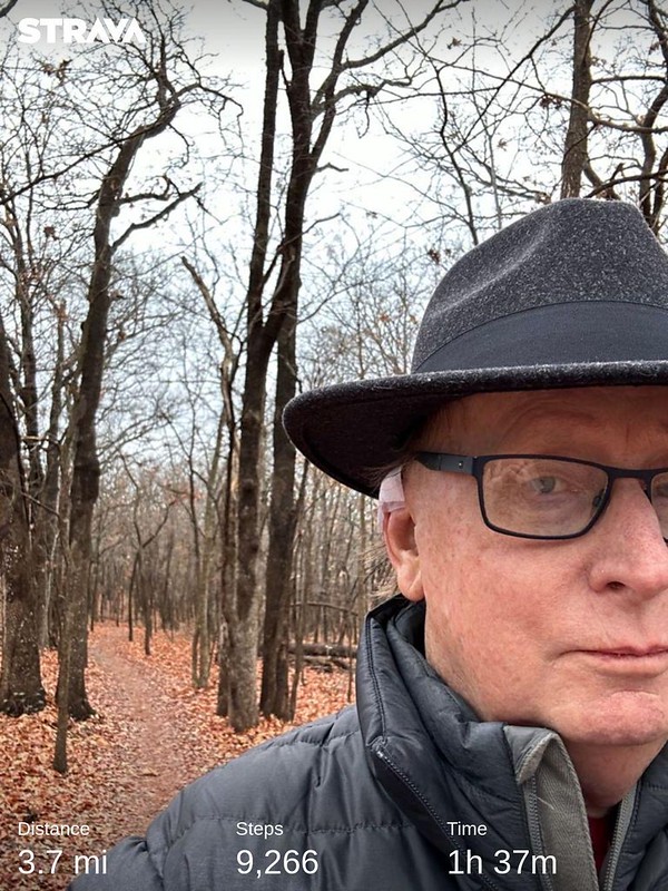
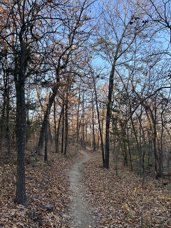
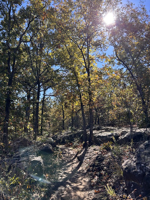
After our recent post Christmas trip to Colorado Springs to see family, we felt the need to get outside and walk a little bit so we ventured up to the North Woods segment of the Tulsa’s Oxley Nature Center to get a couple miles of fresh air and sunshine.
It was a great day. Cool, sunny, and very little wind. The North Woods loop is very pedestrian friendly, flat, no rocks, and no bicycles allowed. We did encounter a couple of friendly bikers. I wasn’t even irritated. The ground was solid so they were not messing up the trail and they were good natured and there were only two of them.
I brought my “good” camera with the 300 mm lens hoping I would see some birds or other critters. I saw flashes of birds and birds way up high, and birds in very thick underbrush. I saw a group of four or five deer running parallel to us about a 100 yards away, but no, no photos on the trail. I got some grainy duck photos of waterfowl on a pond. I will post them tomorrow on my Saturday’s Critters post.
Very rarely do we I see anybody on this particular trail but we saw four or five groups on our outing. That was okay. Lots of room for everybody still.
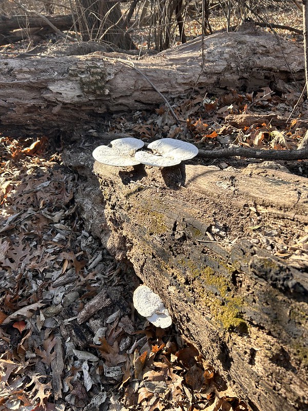
Captured some fungi images! They are easy, they don’t hide.
Christmas and the end of the year buzzed by really quickly this year. Sorry I have been incommunicado all the sudden but hey, I’m back. So I’ll bring you up to speed.
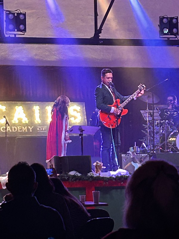
A few days before Christmas we joined another couple for a Christmas music show at historic Cain’s Ballroom featuring several very talented local singers and musicians.
Isaac Hanson, of Hanson, showed up and played a couple of songs. Heather and I remember when he was just a little boy and played for free at local events with his brothers. He’s all growns up now and has a whole bunch of kids of his own.
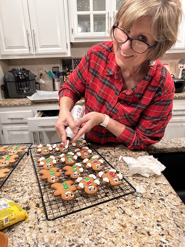
Heather made her traditional gingerbread cookies. They are always a hit.
They go fast.
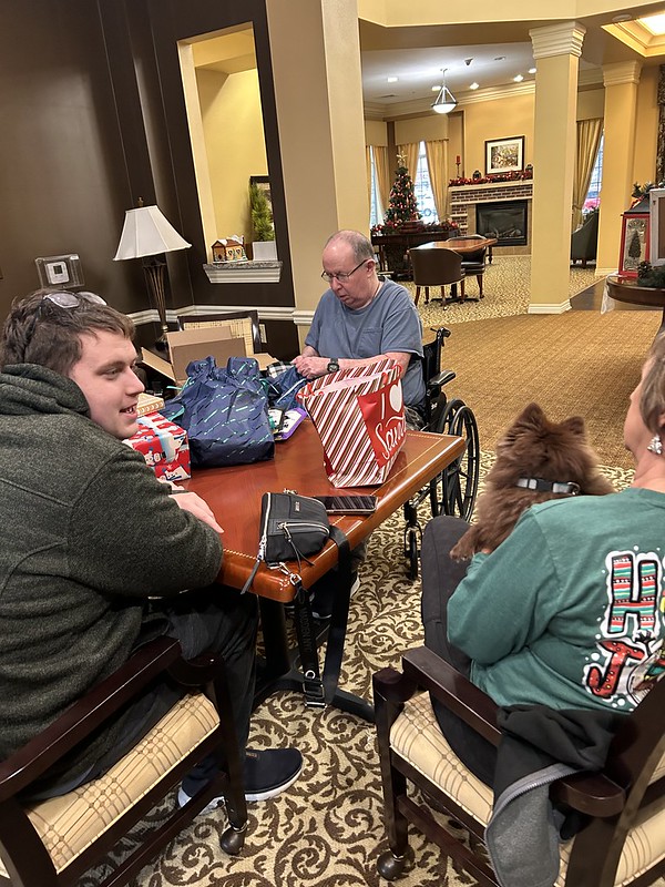
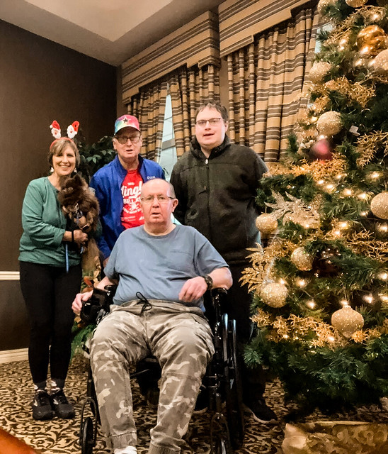
We made a visit to my brother Bob at his residence.
And gathered around the tree.
On Christmas Day we went to my MIL’s house and we opened gifts and had steak and baked potatoes for Christmas dinner. Bad blogger me, didn’t get any family photos.
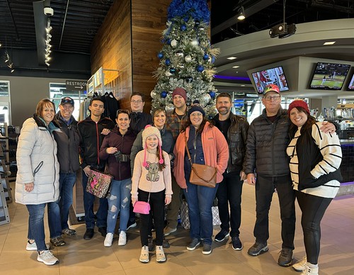
A couple days later Heather, son Logan, Kodi, and I drove a roundabout route to Colorado Springs. My sister and BIL were hosting their family for Christmas. We hadn’t seen them for years so they graciously assented to our presence.
They are an active and fun loving bunch. If you are going to hang with them you better get up early and be prepared to stay late. They were very welcoming to us crashing the party.
Here is Logan with my sister and BIL’s dogs. The little dog is Maisey and is very sweet the big dog is Aspen. Aspen kept trying to play with our little dog, Kodi but Kodi was intimidated.
Sister and her husband treated us all to the US Olympic and Paralympic Museum in Colorado Springs. It was great. There are lots of things to look at and videos of past performances and artifacts like the costume above worn by Peggy Flemming who won the Gold Medal in figure skating at the 1968 Winter Olympics. I always thought she was classy and elegant.
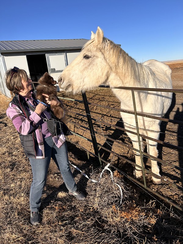
Back at my sister’s house, Kodi went for a walk and got to meet Jasper the horse and get sniffed and inspected really good by the horse. I think our city dog thinks he doesn’t want become a ranch dog.
On the drive back to Tulsa Kodi found an earth cache. A specialized form of a geocache. So now I call him Kodi the Geodog.
I also got a shadow photo of Kodi so I guess he is a shadow dog as well.
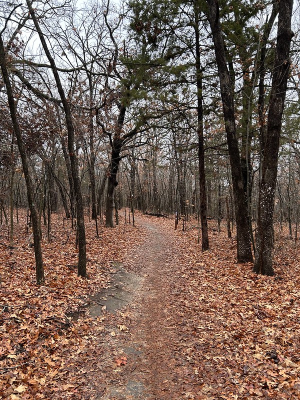
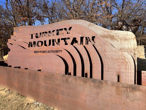
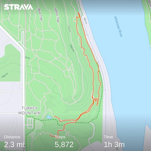
Last week it rained for a whole day or two then it got cold. Turkey Mountain was closed to bikers but open for hikers. So off I went.
As usual I traversed a combination of legacy trails and new trails.
The new trails, thanks to their water shedding design were not muddy at all. By now the trails are very hard packed almost like pavement. The old trails were okay but a bit muddy at times.
It is amazing. There are no guards at the trails or rangers or anything and yet the bikers stayed away. I think most of the users are invested in the trails now and comply with the requests to stay off after rains. Bikers especially turn out huge for the trail work days and really buy into keeping the sustainable trails in good shape.
So on my hike I only saw a few other people, all of them hikers. No bikers nor signs of bikers at all.
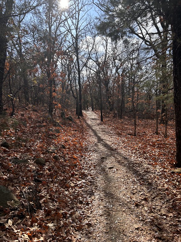
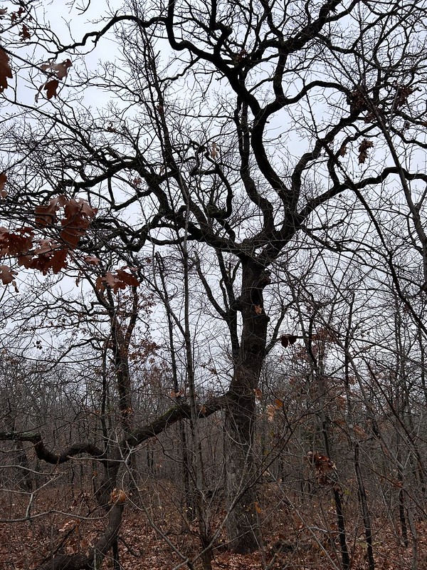
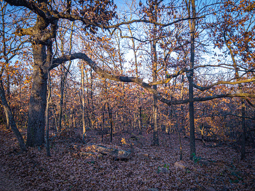
I love trees in the wintertime. We get to see their bones and the results of them stretching up to the sky to get some sun.
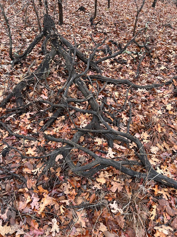
I also love seeing the dead wood in the woods. You couldn’t buy a sculpture like this at any price. Turkey Mountain is an old growth forest. They don’t cut down old snags and they don’t clear the woods of them either. Sure they have done a little bit of controlled burns and mulching and their clear trails of fallen limbs and trees but they just push the wood off to the side of the trail. Dead trees make great habitat for all sorts of little critters.
I love the rocks on Turkey Mountain. Above is from a large outcropping called Rock City.
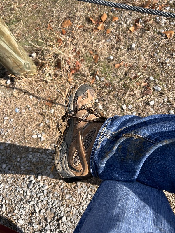
My boots got a little muddy.
And I had a great time. All by myself.
Kind of reminds me of a line from Mary Oliver’s “How I Go to the Woods”
“…If you have ever gone to the woods with me, I must love you very much.”
I’m a geocacher and have been at it for years. Geocaching is a combination real life/online hobby where one goes and finds caches out in the world hidden by others. Check out my Geocaching 101 post and Geocaching.com for more information.
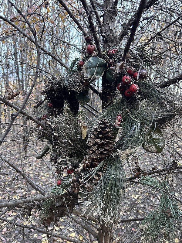
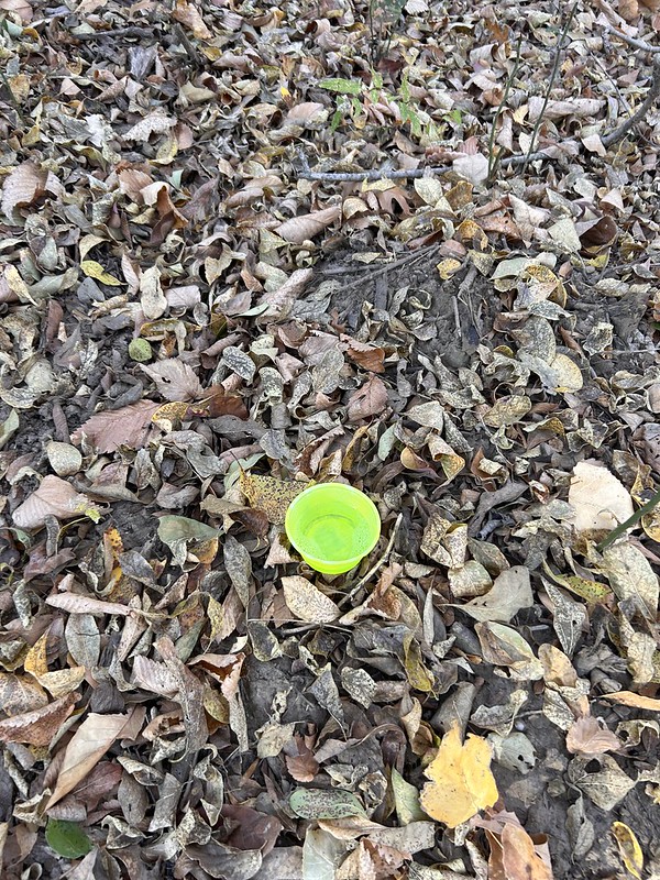
I got a notification from geocaching.com about a new cache nearby so I went to check it out. It was in a patch of dense woods with no trails or anything. I had anticipated that so I did not wear my “good” clothes to go find it. Too many thorns and sticks that can rip clothes otherwise.
So I got pretty far in and thinking, “this is ridiculous” so I did a 360 video to show how dense the woods are with the multitude of skinny closely packed trees.
I went in a little further and found this old rotten wreath. This could be considered a “geobeacon” or just a decoy. The cache is supposedly located within a few feet of it but it shows to be very tiny. So I couldn’t find it even though I spent about twenty minutes looking for it. And it was getting dark and a little cold as the sun went down so I “plugged and abandoned” as we say in the energy industry and left the premises.
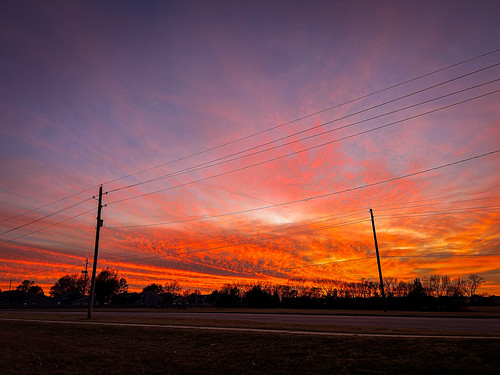
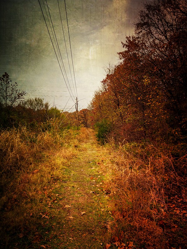
However, as I emerged from the woods I was treated to a great sunset. Sometimes it’s all about the hunt is what I think. Some you find, some you don’t but it’s all fun.
I went on a late afternoon hike recently at Turkey Mountain. They are putting a new sign up. Kind of cool in that it is also a topographic map of the park. I think maybe they are going to make it into a planter of some sort.
I took the Lo Chi trail which goes downhill to the Arkansas River. It passes this beaver pond on the way down.
And the trail goes under this flyover for one of the downhill bicycle runs. I guess this is technically a table top because you don’t have to catch air. But you can if you want. A real flyover would be a gap. Talking to the bikers they have their own language. Many older people like me would “roll over” this rather than try and jump.
And I found this baby backhoe that the contractors use to build trails. I’ve lost track on the new trails. This looks like they are building a new trail already.
Lo Chi doesn’t get as much use as some of the other new trails. I only saw one other person on my two miles outing.
And the sun started setting. I was on the east side of the ridge so it immediately got a little cooler.
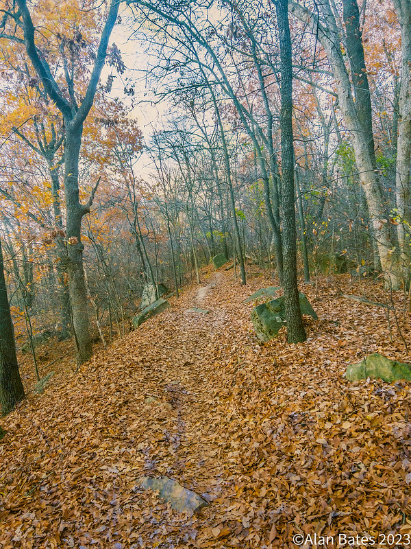
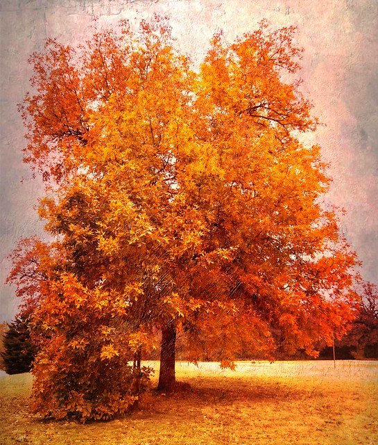
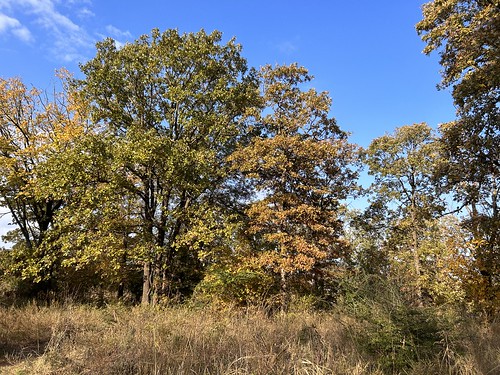
We still have some pretty good fall color on the mountain.
And some more color. I walked a short segment of the RiverParks bicycle trail as part of my route.
Only two miles but hey I had a good time.
Back at the parking lot, these two women had set up their apparatus on one of the pavilions and were having a lot of fun twirling around. I don’t know what you call this but it looks challenging.
Pretty darn athletic is what I thought. They would climb up to the top of the pole and invert with the their legs holding them up. I couldn’t do that in a million years. Got to have a strong core for just start plus not get dizzy twirling round and round upside down.
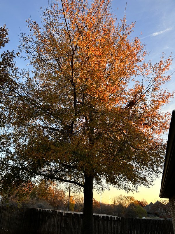
Changing course, one morning in our back yard.
Found this giant Santa Claus inflatable in a nearby neighborhood.
And we are slowly getting our house decorated for Christmas.
And after a long hiatus I started doing jigsaw puzzles again on my ipad. I love doing them even though they take a lot of time. A great advantage is that you can’t lose any pieces and I use the option to orient the pieces in the right direction. Plus the texture of cardboard gives me the heebie jeebies and so I avoid that as well. And! there is no table with the puzzle on it when you are not working on it.
And today (December 7) is Pearl Harbor Day. Let’s not forget the heroes that day.
We had the full Beaver Moon recently on a very cold clear night. I always love the full moon.
We still have some fall color to go with our blue skies.
I hope everybody had a great Thanksgiving. Did you go shopping on Black Friday. I went on a hike in a secludeed area of Turkey Mountain here in Tulsa.
Saw some great sights, took a lot of photographs.
Got on some rugged legacy trails and then on some of the newer twisty turny trails.
I encountered four other people on my hike with is four more than what I usually see in this part of the park. I only went about two miles. but it was great.
Took this photo on Tulsa’s Turkey Mountain Urban Wilderness while doing a little citizen science project.
Every two weeks I go set nine traps for native pollinators. Three each of green, white, and red and then later go collect the bugs and put them in sealed tubes. I doing it for a professor at the University of Oklahoma. It’s all fine and good except my wife is not happy about frozen bugs in our freezer. At the end of next month I send all my data and the bugs to the professor.
A scene on my hike bike to the parking lot. I’ve been experimenting with RAW photography on my cell phone. I use an app called Halide to do it. RAW format photos are lots bigger than jpg files and thus contain lots of information. The visuals of the photos are kind of flat and dull but you can edit them with many phone based apps such as snapseed. I use the phone based photoshop and lightroom. I think it can really add a lot of dimensions to the photo under the right circumstances. I like how the above photo turned out.
As you may know if you have been following me for a while I am impatient with the purist ethic of photography to use no filters or processing. I respect if that is what you want to do, that’s great. Me, I love monkeying around with photos. Many of photos are unprocessed though, I would guess maybe half to two thirds.
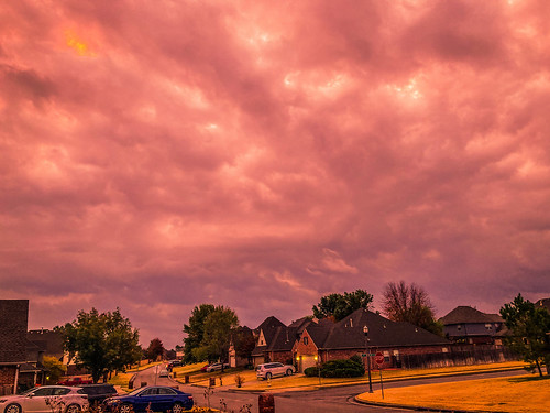
Here is an unedited photo of some evening color from my front porch. I love it when my fellow skywatchers take photos from their property.
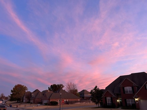
And here is an unedited photo from my back porch one morning.
And another from the greenbelt in our subdivision.
And yet another from the elementary school where I am a volunteer reading tutor.
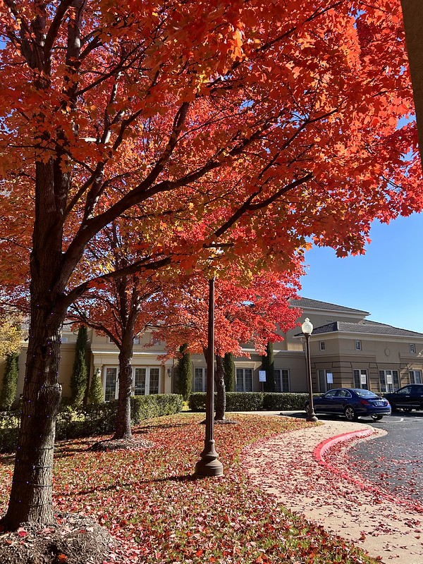
On a whim I stopped one day at this park while running errands. It has good fall color scenes in the past and today did not disappoint.
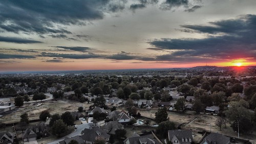
We got some clouds the other day at sunset and the wind dropped so I launched my drone in backyard to see what I could see.
Lip Repair
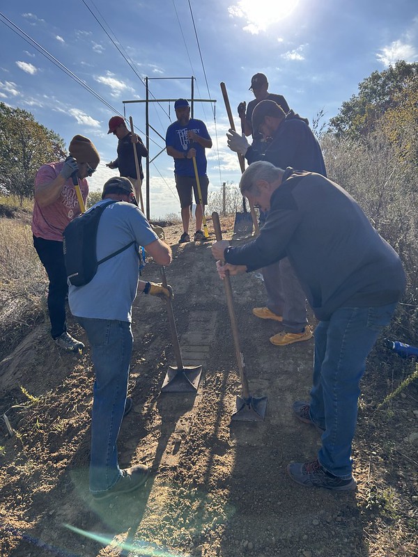
Last week I attended a “Berm Clinic” on Turkey Mountain. They had an old pro trail builder to teach us how to repair berms and lips on downhill bicycle runs. I don’t ride mountain bikes but I wanted to learn a little bit about this so I could help out on the trail days. We also learned about fixing lips which is what bicyclists use to catch air. The lips need to be sharp edged to get the best results.
I stole this photo from somebody else’s facebook site. There is me in the foreground working on repairing a berm. It was a fun and interesting two hours.
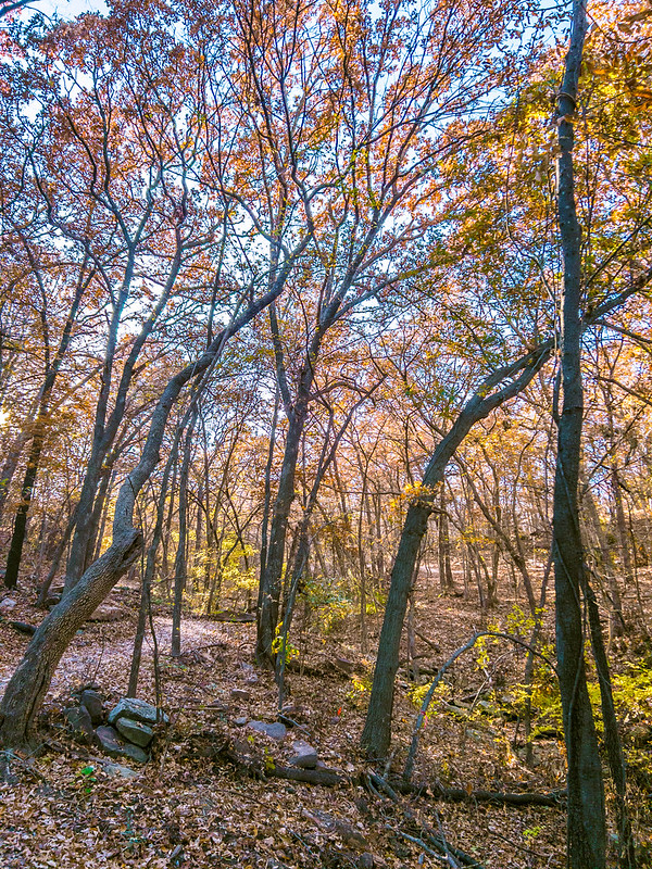
And I have been on a couple hikes on Turkey Mountain the past few weeks. I have so many pics of fall colors.
And I ran in a trail race last sunday that started from the YMCA on the northwest side of Turkey Mountain. When I saw I ran it I mean that I walked it.
Got more photos during the race.
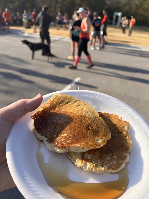
At the end I ate a couple of pancakes at the finish line.
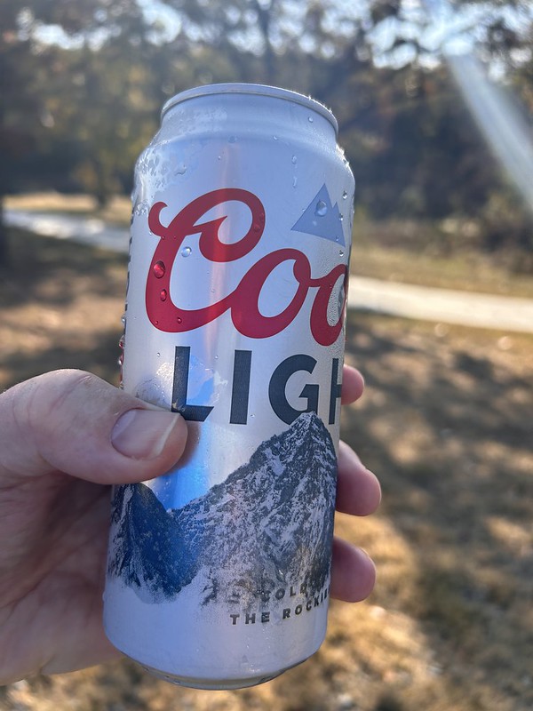
And drank an adult malted beverage. All before 11 am on Sunday morning. I don’t know a better way to start the morning.
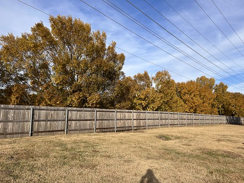
And more drive by fall color.
And some more while walking our dog on our neighborhood. I’m never afraid to post sky photos with all sorts of wires in the air. I got the software to eliminate them but rarely do.
So, I’ve been pretty busy the past week. How about you?