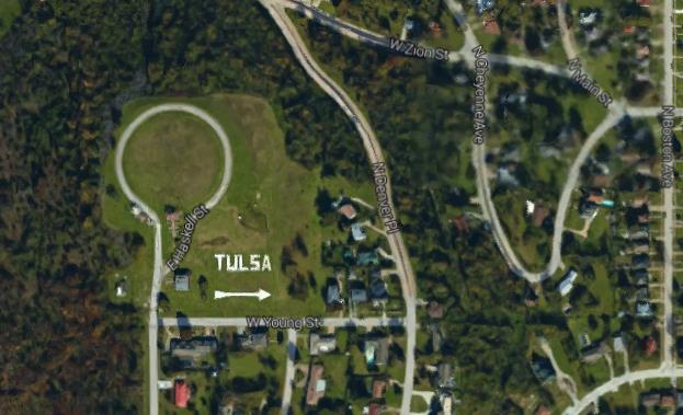
I was on Google Earth the other day trying to figure out how to get somewhere when something caught my eye. It was a a huge tag looking straight up into the sky with the words “Tulsa” and above it a similarly gigantic arrow pointing west. Below is a screenshot from Google Earth.
I looked at it and zoomed in and out and it looked a little photoshopped to me. You know, just too perfect and too white to be the real thing. By the way that loop road to the upper left of the TULSA sign surrounds a buried water reservoir still in use today. That is why the area is called reservoir hill. That and it is a hill.
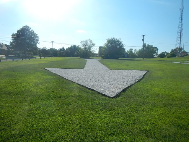
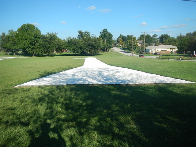
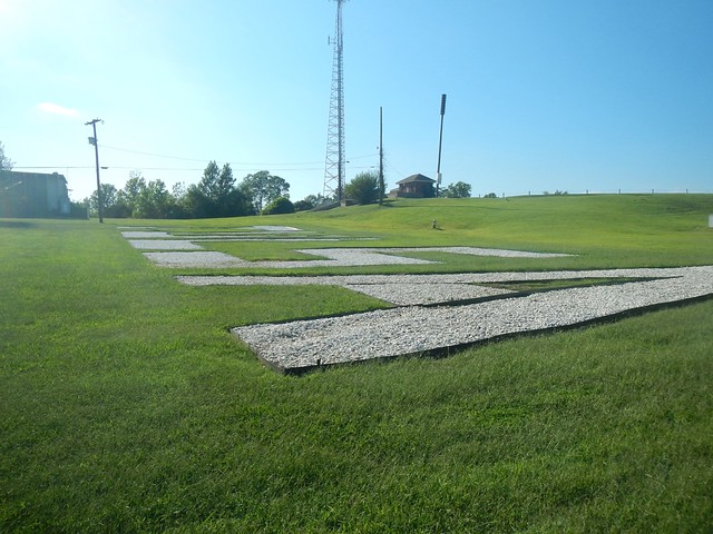
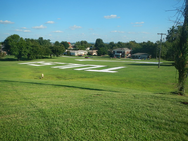
So after work naturally I had to run up there and see what’s what. Actually with my bum knee I drove up there and sure enough there is a huge arrow and TULSA sign made out of crushed rock.
It turns out that this is a recreation of another arrow installed right on top of the reservoir back in 1927. It was part of a promotion celebrating a Charles Lindbergh transcontinental flight at that time. It pointed a little to the southeast of the where the present arrow points to which is the Tulsa International Airport. You can see a photo of the old arrow here.
The new arrow was installed a few years ago with some bond money devoted to neighborhood projects. You can read about that here.
It was kind of hard to get an elevated view of the sign and arrow even when I walked up the hill.
I think the whole thing is kind of cool. It is a bridge back to the 1920’s boomtown era and Charles Lindbergh, the oil tycoons that ruled Tulsa then and whose influence is still around today. I had never heard of this arrow before and I pride myself on knowing all sorts of little things about Tulsa.
Do you know any interesting tid bits about where you live that nobody else does?





![IMG_8250[1]](https://yogisden.us/wp-content/uploads/2012/03/6869644190_76fbf9597a-225x300.jpg)
