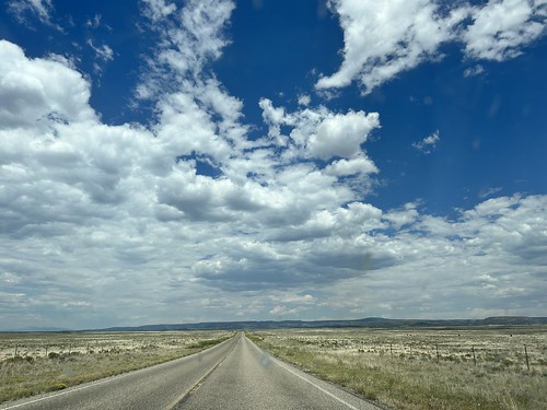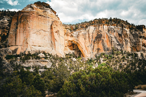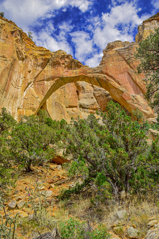
Continuing my road trip from Springerville/Eagar Arizona for my first 50th High School Reunion. You may remember that I went by the El Malpais National Monument to see a natural arch and some spectacular sandstone cliffs. So after that I drove on into Albuquerque, spent the night and headed home to Tulsa the next morning.
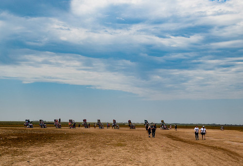
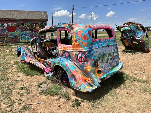
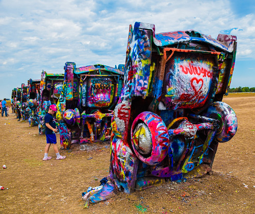
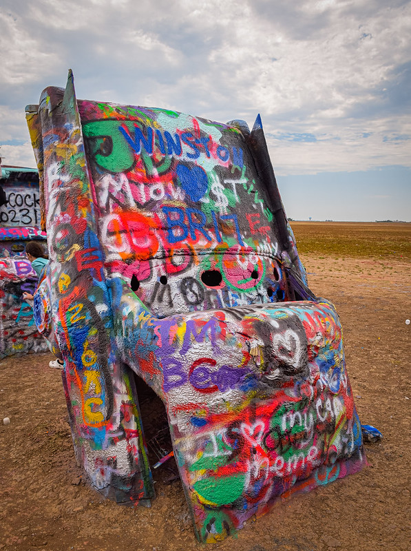
Something that I have been meaning to see for decades was Cadillac Ranch west of Amarillo. It was installed in 1974 by three architects from San Francisco who called themselves the Ant Farm, on land owned by a millionaire in nearby Amarillo. It was moved in 1997 to further away from the city. You can read all about it in this Wikipedia article.
I remember driving by it in 1977 when I left home after graduating with my engineering degree. I was on my way to Houston to start my new job with Mobil Oil Corporation. I saw the installation from I-40 and wanted to check it out but you know, I had a long ways to go and I was in a hurry. So here I am retired 46 years later and I took the time, finally.

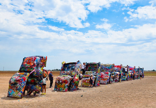
It’s kind of a place. No admission fee but you can buy spray paint and people were making the most of it.

I just took it all in. In some places the paint is inches thick. According to the Wikipedia article it gets repainted now and again for television commercials, social protests, and once to mark the passing of the one of the founders of the ant farm.

I have had several people tell me that they came out originally to it in the 50’s and 60’s (it was installed in 1974). I just nod my head and say that’s cool!! That’s kind of common for Route 66 attractions. People talk about visiting places as kids when the thing wasn’t even built then,
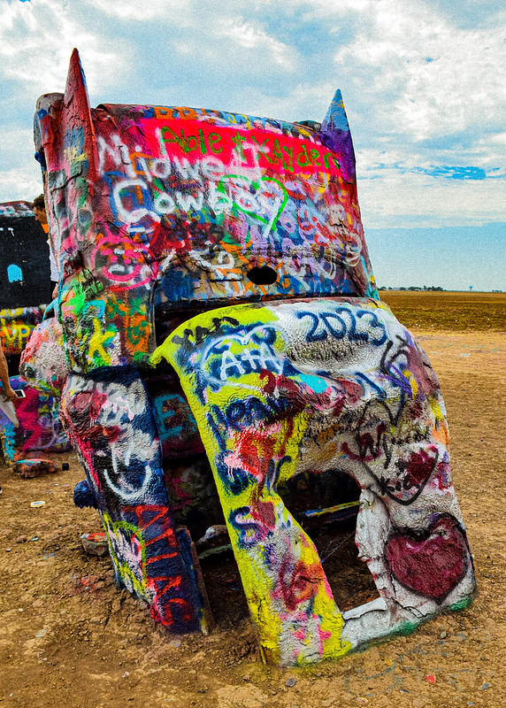
I love that people are using really bright colors to paint with.
And what got me was the kids were really getting into it. Ordering their parents to go buy more paint, or bring them this or that. How does that work? I don’t really remember ever ordering my parents around. I would have remembered if I tried to do so!
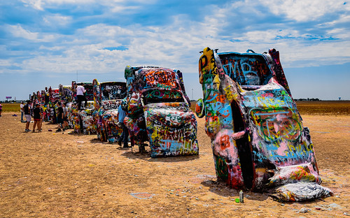
Droplets of spray paint were wafting everywhere in the Texas breeze.
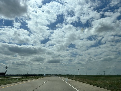
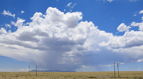
And I was glad that there was decent sky that day.

My advice is to not wait 46 years to go do something that you would like to do.
Have you ever checked out Cadillac Ranch? How about the Bug Ranch? It is a similar installation with Volkswagens on the other side of Amarillo. I posted about it about a month ago.
I’m linking with Skywatch Friday and My Corner of the World